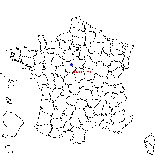
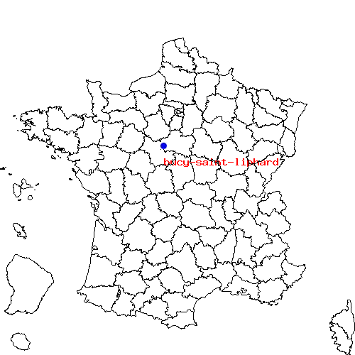
Récapitulatif de l'itinéraire
| Distance en voiture | |
|---|---|
| Distance à vol d'oiseau | 5.566 km |
| Distance en vélo | 7.51 km (distance estimée) |
| Bucy-Saint-Liphard | Chaingy |
|---|---|
| Ingre, Chaingy, Chapelle-saint-mesmin, Saint-jean-de-la-ruelle et Saran | Saint-ay, Chapelle-saint-mesmin, Ingre, Saint-hilaire-saint-mesmin et Ormes-45 |
| Bucy-Saint-Liphard | Chaingy | |
|---|---|---|
| Code postal | 45140 | 45380 |
| Code INSEE | 45059 | 45067 |
| Localisation | Centre de la France | Centre de la France |
| Longitude / Latitude | 1.76667 / 47.9333 |
1.76667 / 47.8833 |
| Département / Région | Loiret / Centre | Loiret / Centre |
Le trajet de bucy-saint-liphard vers chaingy est en cours de calcul ...

 Descriptif détaillé du trajet
