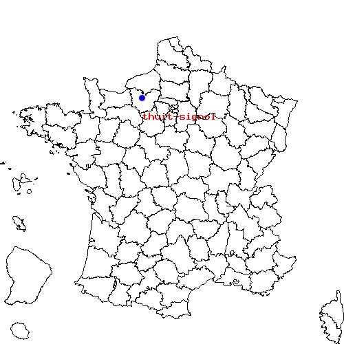
Récapitulatif de l'itinéraire
| Distance en voiture | |
|---|---|
| Distance à vol d'oiseau | 3.183 km |
| Distance en vélo | 4.3 km (distance estimée) |
| Le Bosc-Roger-en-Roumois | Le Thuit-Signol |
|---|---|
| Bourgtheroulde-infreville, Thuit-signol, Londe, Elbeuf et Saint-aubin-les-elbeuf | Bosc-roger-en-roumois, Londe, Elbeuf, Bourgtheroulde-infreville et Saint-aubin-les-elbeuf |
| Le Bosc-Roger-en-Roumois | Le Thuit-Signol | |
|---|---|---|
| Code postal | 27670 | 27370 |
| Code INSEE | 27090 | 27638 |
| Localisation | Nord-ouest de la France | Nord-ouest de la France |
| Longitude / Latitude | 0.924167 / 49.2898 |
0.95 / 49.2667 |
| Département / Région | Eure / Haute-Normandie | Eure / Haute-Normandie |
Le trajet de bosc-roger-en-roumois vers thuit-signol est en cours de calcul ...

 Descriptif détaillé du trajet
